
Here's what you need to know:
The Basics
- Fullscreen button toggles immersive mode (PC/Android only).
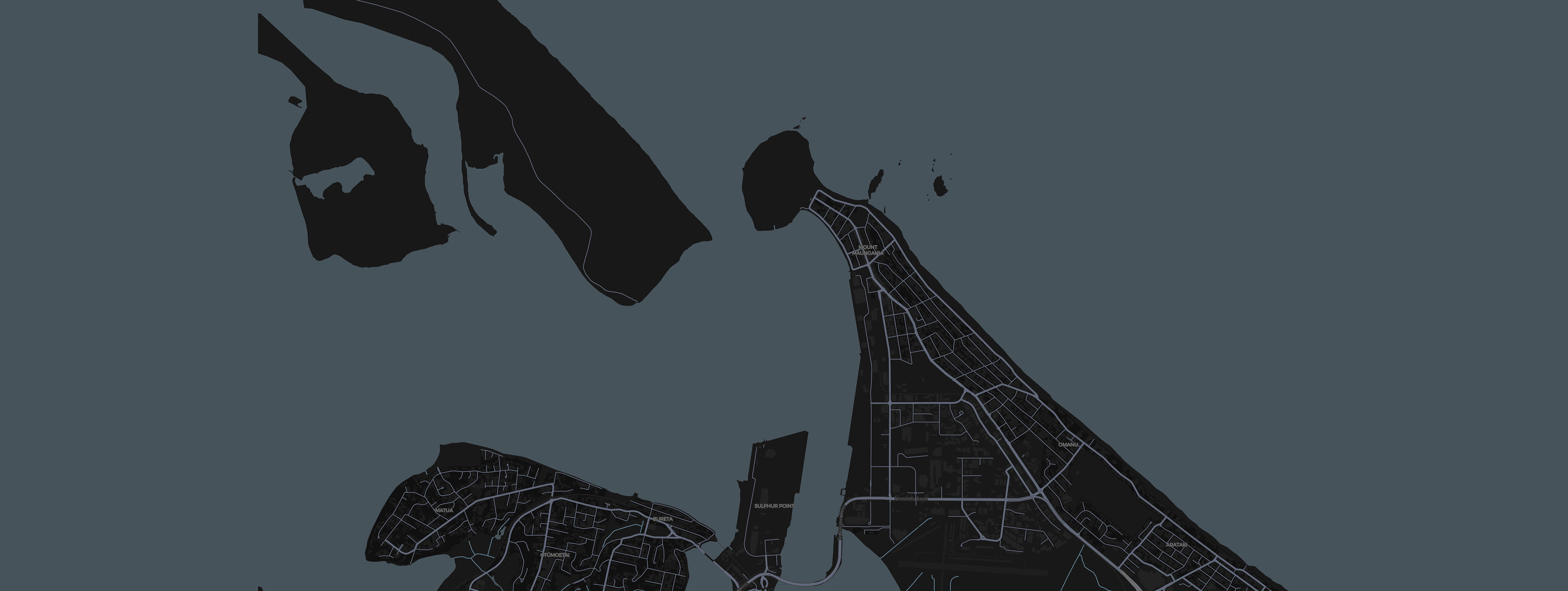
- Click on the Windicator Logo to toggle between Dark Map and Aerial Views
- Tap the Wind Indicators, Wave Gauge, Sun & Moon, and Tide Widget/Current Indicator for their histories.
- Status bar at the top shows live air & water temps plus time.
- Status bar at the bottom shows maximum time until next refresh on the left, and the actual timestamp as read. The page is automated, it will check every few seconds for new data. On page first load, wait 10 seconds to see latest data.
Design & Implementation
- by Rob Haskett. For feedback, suggestions, or bug reports, please email windicator.app@gmail.com.
- © 2025 Windicator.app. All rights reserved.
- Disclaimer: This application is intended for recreational use only. While every effort is made to ensure data accuracy, no responsibility is accepted for errors or omissions.
Full Guide & Credits
Fullscreen
- Fullscreen button toggles full screen mode on and off.
- Supports portrait or landscape orientations.
- Windows: Press F11 to enter or exit fullscreen manually.
- Mac: Press Control + Command + F to toggle fullscreen.
- Mobile: Tap device UI or swipe to exit fullscreen if needed.
Wind Indicators
- Wind speed is in Knots.
- Wind indicators show "live" wind direction and strength at 3 key locations - A-Beacon, Pilot Bay & Crane 6.
- Indicators use marine convention: pointers show the direction wind is going to (not where it’s coming from).
- Arrow fletchings change based on wind and gust strength, giving a visual cue to intensity.
- Tap indicators to view detailed wind history with speeds and direction trends.
Wave Gauge
- Wave data is sourced from A-Beacon.
- Significant Wave Height (Sig): The average height of the highest one-third of waves recorded over a sampling period.
- Maximum Wave Height (Max): The tallest single wave observed during the sampling period.
- Mean Wave Period: The average time between wave crests, indicating the energy and consistency of wave sets.
- Tap the Wave Gauge to view recent wave height and period history.
Tide & Current Widget
- Tide and current data are sourced from the entrance to Tauranga Harbour, with tide height from A-Beacon.
- Displays predicted tidal heights, timings, and actual current velocity and direction.
- Current direction arrows show where the water is flowing to.
- Color-coded flow indicators: blue for incoming, yellow for outgoing.
- Tap the widget or current indicator to view recent tide and current history with detailed trends.
Astro Widget
- Displays daily sunrise and sunset times for Tauranga.
- Shows moonrise and moonset times, along with the current moon phase icon.
- Useful for planning sessions around daylight and tidal movements.
- Times update automatically each day based on your location.
- Tap the Sun & Moon widget to view next 32 days.
Status Bars
- The top status bar shows live air and water temperatures, along with the current local time in Tauranga.
- The bottom status bar displays the countdown timer until the next automatic data refresh on the left.
- On the right, it shows the exact timestamp of the latest data reading, providing a quick check of data freshness.
- Clicking the timestamp link opens the source image for verification or deeper analysis.
Credits & Acknowledgments
- Data sourced courtesy of Port of Tauranga, A-Beacon instruments, and local weather feeds.
- Tide data powered by the National Institute of Water and Atmospheric Research (NIWA).
- Astro calculations powered by SunCalc.
- Moon phase icons courtesy of NASA resources.
Design & Implementation
- by Rob Haskett FoilPilot.app. For feedback, partnership opportunities, or development work inquiries, please contact windicator.app@gmail.com.
- Thanks to the Tauranga foiling and wind sports community for their feedback.
Disclaimer
- This tool provides recreational marine information intended to assist with planning and situational awareness.
- Data presented may contain inaccuracies or errors due to sensor malfunctions, communication failures, or delays in updates.
- Values of 0.0, null, or unrealistic readings should be treated with caution and verified independently before relying on them.
- All care has been taken in the preparation of this tool, but no responsibility is accepted for actions or decisions taken based on the data provided.
- Users should always consider official forecasts, warnings, and real-time local conditions before venturing out on the water.
© 2025 Windicator.app. All rights reserved.